|
by Aurel Stratan Article also HERE
in the early Cretaceous, 130 million years ago...
But for nearly four centuries, it was treated as a phantom.
The Māori knew it as Te Riu-a-Māui.
But instead of glory, Tasman got an island named after him - Tasmania - while his lost continent faded into myth, confused for centuries with Atlantis, the fabled city sleeping beneath the Pacific or Atlantic.
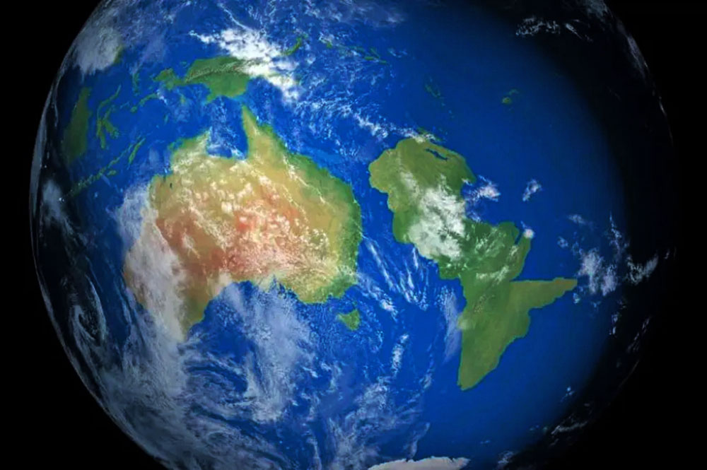
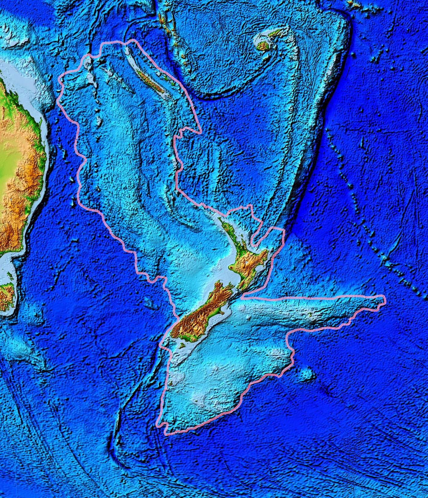
Published in the journal Tectonics (Reconnaissance Basement Geology and Tectonics of North Zealandia), their study reveals they have finished the first complete map of Zealandia - 4.9 million square kilometers of mostly submerged land, breaking the ocean's surface only as modern-day New Zealand.
And those strange magnetic anomalies plaguing local charts? Solved...
But here's where the story deepens.
Zealandia. Wikipedia
The study's open-source maps show that 94% of Zealandia was swallowed by the ocean when tectonic plates began to tear apart.
Once part of a supercontinent called Gondwana - alongside Antarctica, 550 million years ago - Zealandia did not simply sink. It was pulled under, while Antarctica broke free.
The drowning began in the early Cretaceous, 130 million years ago, and reached its terrible peak 83 million years ago.
The team has been on this trail for nearly a decade, first publishing their Zealandia - Earth's Hidden Continent, in 2017.
Three years earlier, researchers Nick Mortimer and Hamish Campbell released a book with a bold claim: Few believed them. Now the evidence is sealed.
The question is no longer whether Zealandia exists. It's who will dare to put it on the map.
Geology and history books are already obsolete.
But the real twist came in 2024, when NASA and the Indian Space Research Organization launched a joint probe - not into space, but down.
Fingers crossed - maybe we'll hear about Atlantis too?
|